
Advance Your Geospatial Career

Become a Leader in the Field
Expand Your Skillset
Online Geospatial Education at PENN STATE
In collaboration with the John A. Dutton Institute for Teaching and Learning Excellence and the World Campus, Penn State’s Department of Geography offers over 30 courses covering Geographic Information Systems (GIS), Geospatial Intelligence, Remote Sensing, Spatial Data Science, and Programming.
What We Offer
Students in our online geospatial education program receive more than a credential at the end of a sequence of coursework. We deliver a personalized experience consisting of meaningful engagement with faculty and other students, mentorship and networking opportunities, and significant professional growth in the geospatial field. This experience culminates in a student’s ability to leverage geospatial science and technology to address pressing, real-world challenges across a myriad of domains.
Our courses are designed to help you build the spatial data science and analytical skills needed to advance your career in the geospatial industry.
courses in GIS, remote sensing, programming, spatial data science, and geospatial intelligence
state-of-the-art geospatial technologies taught across our eight online certificate and degree programs
certificates and degrees awarded since the program's inception in 1999
Certificate Programs
Our certificate programs aim to expand your theoretical knowledge and applied skills in a specific field in the geospatial industry.
GIS
Our GIS certificate program teaches students about fundamental spatial concepts, emerging trends in geospatial technology, and problem-based GIS applications.

Geospatial Programming and Web Development
Our Geospatial Programming and Web Map Development certificate program advances students’ competencies in GIS programming, web map creation, and software application development.
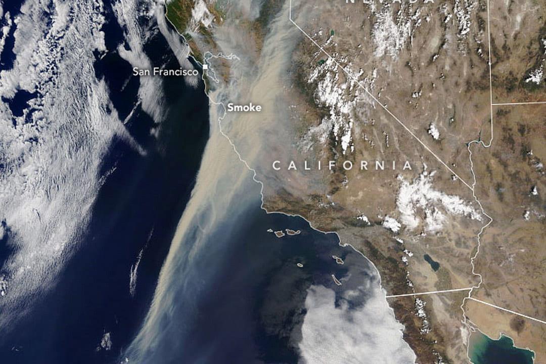
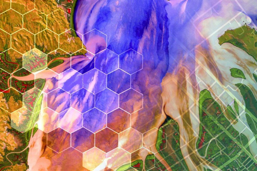
Remote Sensing and Earth Observation
Our Remote Sensing and Earth Observation certificate program helps current and aspiring professionals become more knowledgeable and skillful users of geospatial technologies designed to collect, store, process, and analyze remotely sensed data.

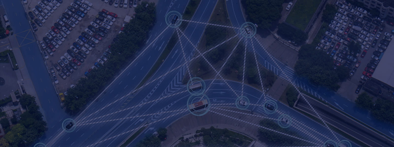
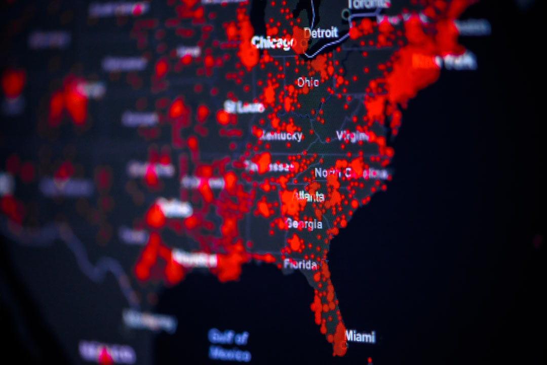
Geospatial Intelligence
Our Geospatial Intelligence Analytics certificate teaches students how to integrate geospatial information science with intelligence analysis to support decision-making in the defense, law enforcement, and business domains.
Master’s Degree Programs
Our master’s degree programs are designed to advance your geospatial skills and knowledge base and to empower you to shape the future of the geospatial field.

Master of Science in Spatial Data Science
Our Master of Science in Spatial Data Science degree program provides students with expertise at the intersection of geographic and data science. Students learn how to design novel analysis tools and geographic visualizations to support decision-making in a variety of real-world contexts.
Master of GIS
Our Master of Geographic Information Systems degree program equips students with the competencies and leadership skills required to design, manage, and use geographic information technologies in a wide range of professional fields.
Master of Professional Studies in Homeland Security
The Intelligence and Geospatial Analysis Option within the intercollege Master of Professional Studies (MPS) in Homeland Security teaches students how to apply strategic, space-time thinking to produce geospatial intelligence that informs complex, real-world problems in disciplines such as public safety, law enforcement, emergency management, and national defense.
Every student’s journey in our online geospatial education program is unique, and we enjoy playing an active role in helping our students realize their academic and professional goals.
We welcome new applicants to our program.